
OK, I finally did a few things. I’ve really struggled to find energy, but muddling through is better than doing nothing.I got on the road and made it up to Columbus, then to Dayton. It’s only my third day back on the road and I feel like I’ve been out here for months. But we work with the things we have.
Although I took 2-lane up to Columbus, OH from Lexington, it was still somewhat repeating landscape. A few hilly bits and deep canyons made the last bits of Kentucky memorable, along with the large ranches and horse fences on the outskirts of Lexington.
Lots of old towns, old churches, old farmhouses, and of course a liberal sprinkling of Dollar Generals to remind you it’s not the 1940’s. The bridge over the Ohio River though, near Marysville, was quite modern:
Then more old stuff:
Towns like these are great mind you, but if you don’t actually stop and check them out, they can lose their charm and just be some brick buildings and too many traffic lights. Ya gotta have the right mindset to appreciate the details, walk around and get a root beer float or stand on a corner with a cold bottle of soda (or is it called pop out here?).
My mind was pretty blank…like when the TV is on and you are staring at it but not really watching. I did my best to admire the scenery while in towns but it was hot enough that I just wanted to be moving at 40mph or above at all times.
Out in between the towns things were quite repeating, but with proper cloud cover this region never feels repeating, so long as you keep your eyes open. Billowing cumulus and “popcorn storms” forming and fading are all over the sky. On the ground it’s almost entirely fields of corn, alfalfa, and sorghum. This shot is pretty tame, as the sky is usually mostly clouds.
One thing that kept it all interesting was navigating “old school.” Remember when we actually had to use paper maps, then watch every damn road sign we passed to make sure we were following the correct route? We had to ask once in town where a specific thing was, and the person we asked would actually know, instead of staring at us thinking, “why don’t you just Google it, you idiot?”
Well, I can’t replace people who have a minute to explain where highway so-and-so is, but I went up to Ohio using a road Atlas only; it was only “Hwy 68 to Hwy 62” for almost the entire ride. But damnit, I kept missing signs. I was using the map on the bike not to navigate, but as a map. Having that screen in front of me kept putting my mind back into “GPS” mode, even though it wasn’t giving me directions.
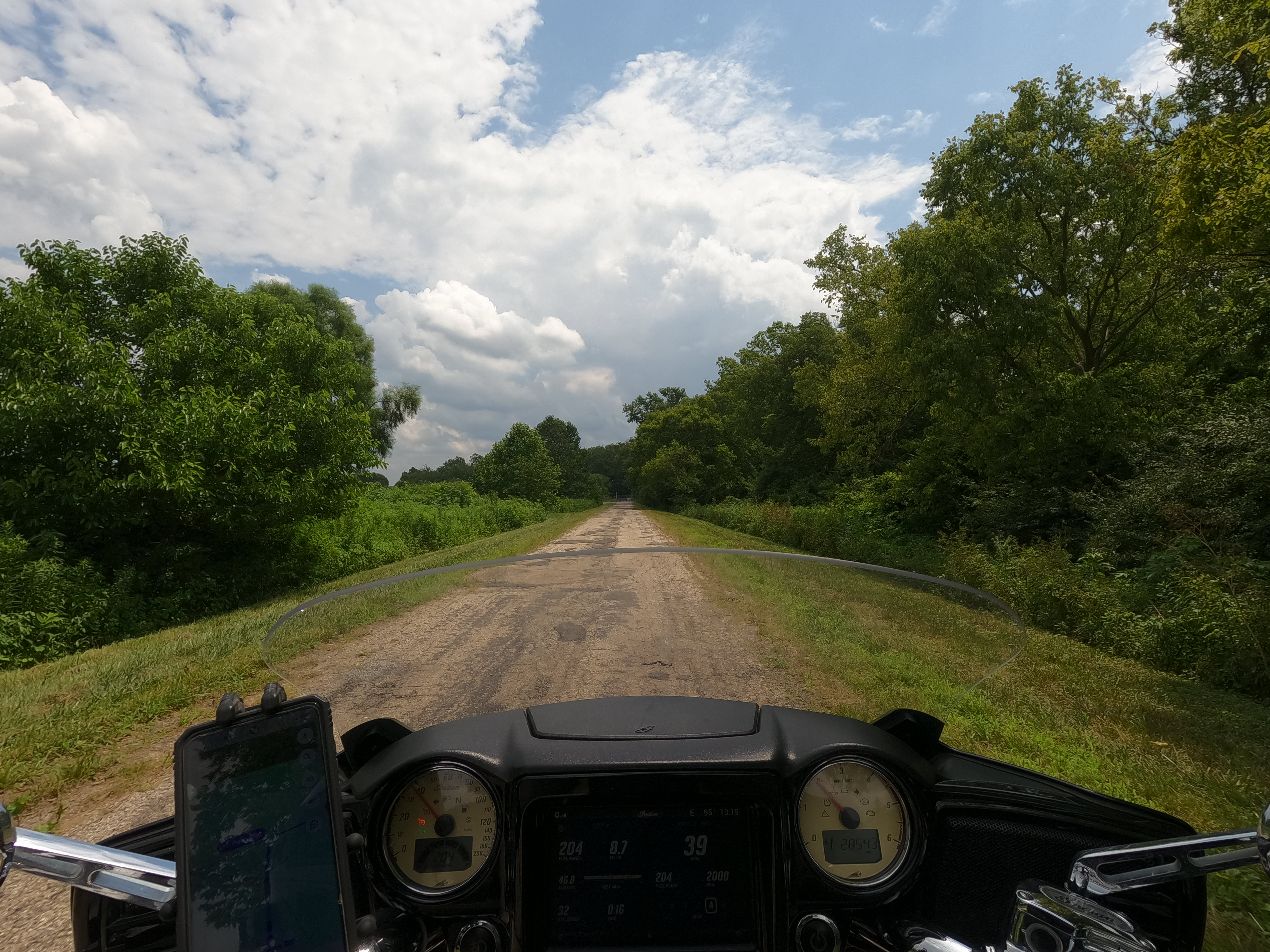
Long story short, I missed a couple of turns, and it REALLY proved to me how much sharper we all were before we carried internet-connected phones everywhere. I mean, damn, we are all in a haze. On the plus side, I could use the map on the bike to cut over to the correct route, instead of back-tracking, as a road atlas doesn’t have any farm roads on it. That allowed me into some very rural spots, where people wave from their porches as you pass. It also meant narrow roads and going slow as hell though.
Eventually I got back to the highway.
By the time I got to Columbus I had blown the cobwebs off my old brain and was able to just tell by dead-reckoning which way I needed to do on the Columbus Beltway, and I got to a motel before traffic picked up, and was mighty happy the AC in the room was already on. It was also next Door to a Tim Horton’s, which was kind of a nice consolation for not being able to make it up into NE Canada on this trip.
Tim Horton’s is kind of what Starbucks or Dunkin’ is, and it hoes back to I think the 1970’s. It’s just special because it’s Canadian, and the ones they have in the US do not make it very far west. Good coffee though.
In any event, I slept well for a change and went to visit the AMA Hall of Fame museum. The American Motorcylist Association goes back to the nineteen-teens I think, splitting off from the Automobile Club (AAA) perhaps? I don’t know: Google it if you’re interested. All I know is they handle motorcyclist’s rights issues and sanction racing events, so I’ve been a member off-and-on for about 20yrs.
I’ve got a few acquaintances who are Hall-ofFamers because of their sidecar racing exploits, so I went to look for their plaques on the wall and see what historic motorcycles were lying about. It’s free for AMA members and I still was in good standing until September. Better to let pictures do the talking though, and I don’t want to post too many, but here’s a few:


What About the Airplanes?
Yep, it’s still an aviation-themed road trip this summer. There’s not a lot that’s aviation-related in the far north of the US, so I’m getting plenty in here at the start. Easy enough, since Dayton, Ohio is an aviation hub.
While the Wright Brothers may have made their first flight on the Outer Banks of North Carolina, they packed things up and returned home to Dayton to refine things. The original Wright Flyer could barely hold itself in the air, couldn’t actually turn, and was barely controllable. And while there can be argument as to some other people’s claims about being the first to achieve powered flight, the first practical aeroplane was definitely the Wright Flyer II.

Replica shed near where the Wright Brothers perfected their design.
Back in Dayton the bicycle-builders-turned-aircraft-engineers made a plane that could actually fly in a lazy circle, and make the first figure-8. Their achievements are memorialized all over Dayton. The local Air Force base, Wright-Patterson field bears their name. Next door is a recreation of the hangar and launch platform they used to testing, in the field they used to use.Across the highway is the Wright Brothers Memorial, a national historic site.

Sadly Google sent me through Wright-Patterson, entirely around the runways to the backwater, desolate side of base, and right into a locked fence about 1500′ from my destination. It took a lot of figuring out on my own to find the correct entrance because someone decided to put a shooting range next to a freaking historical site, blocking the road and sending me through a maze of roads that probably hadn’t made sense since people walked everywhere.

They were nice roads, except that it was humid and in the 90’s. Fortunately, when I got to the site, some clouds took the edge off briefly so I could walk some paths cut through the briars and waist-high grasses nearby (it is a park after all, with trails and interpretive signs, not just a replica of a shed).


The National Museum of the US Air Force is also in the vicinity, but that’s a whole day’s operation; it is literally the largest air museum on Earth. Instead I went further in Dayton, near the University, where a brilliant cemetery on hilly ground offers up over 3,000 different trees of all types, a Civil War section, and the graves of the Wright Brothers among countless thousands.


That damned cemetery was beautiful. I took 100 pictures of trees, mausoleums, ponds, tilting headstones from the early 1800’s, and then I took in the semi-silence in a bustling city. And that was enough heat for one day. I had been struggling since before I even left Kentucky to have some kind of response or excitement. In the beauty of that solemn place, I still felt nothing, other than hot.
And so I hopped on the highway, cued in with the traffic, and made my way to another motel. I at least slept well after a long day, but there’s still plenty to see. Aside from the USAF museum, there is a bunch more Wright Brothers history, a car museums for Packard, and a huge park with a transportation museum ranging from covered wagons to steam engines to more Wright Brothers stuff. That’s just what’s in town, too: the outlying areas have more air museums, a few old courthouses, and then comes “Annie Oakley Territory.”
She was from the area and her grave is north of Daytona a ways. You don’t get a lotta Old West history east of the Mississippi River, so I will poke around and see what’s to see. So much to do, so much time, so little energy. I tell ya, we go our whole lives having two out of three, and that’s a terrible paradox for most of us.
If you’d like to get a summary email (sent out each Sunday if there are new posts) straight to your inbox, please enter your email below:
